Yeah, today I found out that six years ago I never blogged this ride, so here we go from a very rusty memory, but fortunately the statute of limitations has run out on my friend Brian's misadventures, so I can share some pictures and poke more fun at him that I was originally going to do before he and his wife fled the country this past fall.
 |
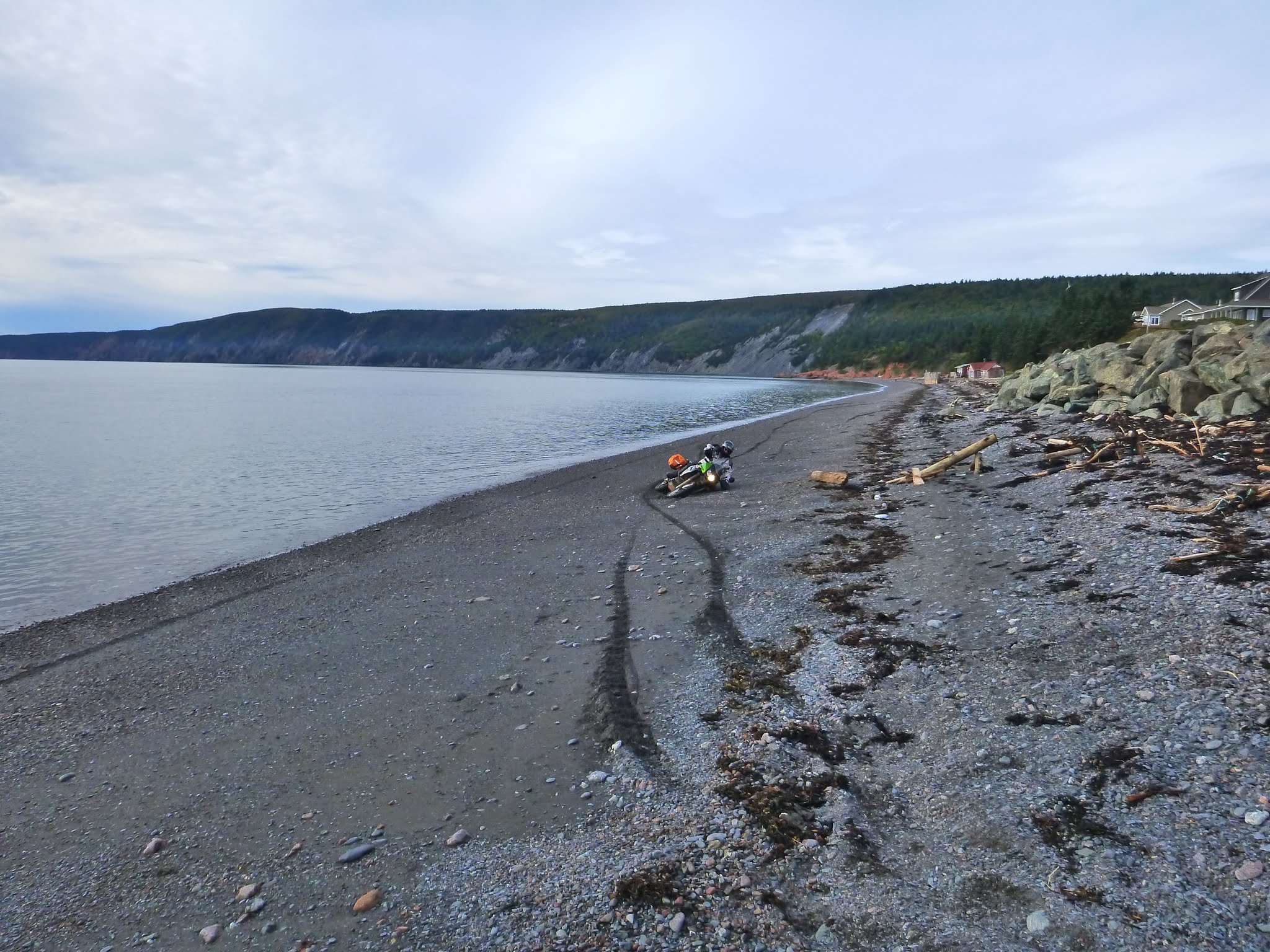
| Oops, a low speed get off?! |
Day Tripping: Borden-Carleton PE to Advocate Harbour NS and Return
Drive 351 km, 4 hours, 45 minutes
 |
| Borden-Carleton PE to Advocate Harbour NS and Return 351 km, 4.75 hours |
It was a chilly fall day, but sometimes those can be the perfect days for a motorcycle ride. I've a heated jacket and grip heaters that I lean on on days like today, and I'll couple those with some insulated overalls, the cotton duck type that I used to use with Bell Canada.
I'm still in love with the rivers that feed into Fundy Bay, as they are completely outside my experience at low tide, with sand bars, mud flats and exposed chocolate covered banks. My attention is drawn to them, and I snapped a few shots while in motion, but then had to get some better shots around the River Hebert area on NS 209 that changes names as it winds it's way south west along the Fundy Shore out to Advocate on the Chignecto Bay, but first we would have to get to the East Apple River down to the south of us. I love this route that Mike T. (Mister T "I pity da fool!") took Captain Kirk and our band of miscreants south on in July of this same year.

My grandmother Jennie Corkhum was born near Halls Harbour Nova Scotia on the Bay of Fundy, and here is a time lapse video of the tides in that small harbour.

 |
| River Hebert Nova Scotia as seen from NS 242 |
 |
| Downtown Joggins Nova Scotia |
 |
| MacCarron's River Old Shulie Branch Road Joggins NS |
 |
| MacCarron's River Old Shulie Branch Road Joggins NS |

 |
| MacCarron's River Old Shulie Branch Road Joggins NS |


The road isn't too bad this side of the peninsula, but there are some rough spots.

209 is a pretty fast 80 kph road, until you see a sign alerting you to a corner ahead, which segues right into another corner that is usually covered in a bit of sand or pea gravel, and BANG! Right onto a single lane wooden decked bridge. Earlier this year, Kirk on his BMW F800GS used a bit of his ABS here while making the corner, as he hit that patch of dirt mid corner trying to shed speed to control the bike to make the next corner, right onto the bridge itself. Trouble is, his son Ryan was in hot pursuit, so it became a memorable moment for the pair of them. Not so with Brian and I today, as I'd warned him about it, so we took it fairly sedately.
 |
| Sand River flowing into Chignecto Bay Nova Scotia As seen from NS 209. |
The best scenery is along the coast, so be prepared to stop at most of the bridges you see if you want the good shots. Once the road heads inland, you are going to see some trees and potholed pavement.

 |
| Sand River looking East and inland from the bridge |
Way up the road a piece you will find the marsh land on the outskirts of Apple River NS, a small community. There is a bridge over the East Branch Apple River right on 209 that I like to stop at.
 |
| East Branch Apple River NS As seen from NS 209 |
We continued through the village, on Shulie Road NS 209, and then made the turn onto what is still called the 209, and headed on a wee romp down a twisty stretch that runs you through New Salem, and out until you begin to see signs for the Provincial Park
We stopped in town and got a bit of lunch at the town's only gas station, and chatted with couple of like minded riders that had come out from Truro iirc. I was quite taken with the camouflaged KLR, but I wish they would throw a bit of 21st century tech at them, like Fuel Injection and better braking. I suppose they have made some in roads to that end, but I still prefer the Versys unless it's a clay road in the wet.

 |
| Ducati Owner's group Plus One |


 |
| That puts the "Cape" in Cape Chignecto Provincial Park. |
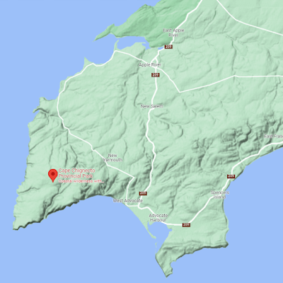 |
| They make that road Through New Yarmouth look passable. I didn't care for the look of it in Apple River and never really took it any further than a turn around and back out on 209. I'll have to ask my friend who lives in the area how it pans out. |


Brian wanted to explore, so we headed out to the new and improved break water to have a look.
 |
| The breakwater |
Advocate Harbour (2011 pop.: 826)[1] is a Canadian rural community located in Cumberland County, Nova Scotia
The community is situated on Route 209 and has a small well-protected fishing harbour opening on the Bay of Fundy; the harbour dries at low tide.
The community's economy is tied to the seasonal industries of fishing and tourism. The scenic Cape d'Or Lighthouse and Cape Chignecto Provincial Park are popular local attractions. Due to the extreme tidal range in this area it is also a well known sea kayaking destination. The coastal erosion creates sea stacks, caves and arches that make for a unique experience.
A very long rocky beach is popular for beachcombers for its massive amounts of driftwood. The community is featured on the Fundy Shore Ecotour.Low-lying parts of the community are protected by a seawall which was damaged by a storm in 2008.[2] Some residents are prepared for 72 hours of isolation in the event of a storm that breaches the seawall, with supplies of food and bottled water.[3] As of 2012, the seawall has been repaired and reinforced by construction crews. The reinforcements of the seawall are several piles of very large boulders within tidal range, and the seawall itself is reinforced with medium-sized boulders of the same nature.


 |
| So this was our first sighting of Allen as he ripped past us on the beach, riding his old 2006? KLR |